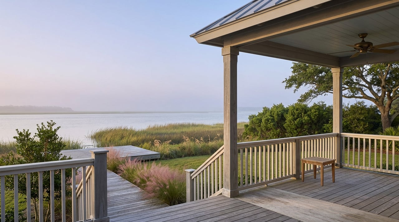
Duck NC 12 Resiliency Project: What Its Award Means for Buyers
Drive north on Duck Road past Sunset Grille and the sidewalk narrows, the marsh grass thickens along the water side, and the road sits close enough to Currituck Sound that on a windy day you can see the surface chop from the driver's seat. Nothing about this quarter mile looks remarkable. There's no plaque, no historical marker, nothing that tells you this specific stretch, running roughly 1,500 feet from the former Resort Realty building at 1248 Duck Road to Sunset Grille at 1264 Duck Road, used to be one of the most flood-prone segments of highway on this end of the Outer Banks.
It isn't anymore. And this month, the rest of the country found out why.
On September 8, 2026, the Outer Banks Voice reported that Duck's NC 12 Resiliency Project had been named one of the American Shore and Beach Preservation Association's 2026 Best Restored Shores. The award recognizes natural infrastructure projects that address storm-related coastal hazards while improving habitat and community resilience, and this year's honorees will be recognized at ASBPA's Centennial National Coastal Conference in Atlantic City, October 5 through 8.
For a town this size, a national award for a quarter-mile stretch of road might sound like a small thing. It isn't, for reasons that have less to do with civic pride and more to do with how coastal towns pay for resilience, and who ends up footing that bill.
The project, formally called the Living Shoreline and Resiliency Project, broke ground in mid-October 2023 and wrapped in May 2024, with a ribbon cutting on May 22. Fred Smith Company handled construction, with engineering by VHB. The scope covered a section of NC 12 the town had already flagged in its 2020 vulnerability assessment and hazard mitigation plan as one of its most exposed pieces of infrastructure, a stretch that routinely flooded from Currituck Sound storm surge and heavy rain.
What went in:
None of that is cosmetic. Raising a road, rebuilding a shoreline, and installing new drainage on a barrier island are capital-intensive, permit-heavy undertakings. Which raises the more interesting question for anyone shopping property nearby: who paid for it, and does that money come back around.
This is where the project gets genuinely useful to understand as a buyer, because the funding structure here is not the same one Duck uses to pay for its oceanfront beach.
The NC 12 project was built almost entirely on outside grant money. FEMA's Building Resilient Infrastructure and Communities program, known as BRIC, awarded Duck roughly $1.85 million toward the project after a competitive national selection process announced in November 2021. Additional funding came from the North Carolina Division of Emergency Management, the National Fish and Wildlife Foundation, the Dare County Tourism Board, and Dare County Soil and Water Conservation. The town assembled a stack of federal, state, and nonprofit dollars, built the project, and finished it. There's no new town bond behind it, no assessment sitting on a future budget line for this specific stretch. It's paid for.
Compare that to how Duck handles its oceanfront beach. Beach nourishment here runs through Dare County as the contracting entity, and it is explicitly not a one-time fix. The town's own materials describe erosion as ongoing, which means periodic nourishment has to repeat to maintain the beach over time. Duck has already gone through this cycle more than once: a project completed in 2017, and a second round completed May 14, 2023, covering about 1.6 miles of shoreline from the Army Corps Pier north to Skimmer Way at a construction cost of $7,394,516. That's not a grant that closed the book on the problem. That's a recurring capital program that has already come back around inside a decade, with a fresh contract and a fresh price tag each time.
Here's the difference in plain terms:
| NC 12 Resiliency Project | Oceanfront Beach Nourishment | |
|---|---|---|
| Funding source | FEMA BRIC grant, NC Division of Emergency Management, National Fish and Wildlife Foundation, Dare County Tourism Board, Dare County Soil and Water Conservation | Dare County construction contracts under the county's beach nourishment program |
| Structure | Single capital project, grant-funded, completed in 2024 | Recurring maintenance, at least two full cycles in Duck since 2017 |
| Where the next bill lands | Already paid, no new assessment tied to this stretch | Whoever is footing the county's program when the next cycle comes due |
If you're looking at property near the north end of Duck Village, this matters more than the median price on a listing sheet. A home near that quarter-mile between the former Resort Realty building and Sunset Grille sits behind infrastructure that has already been rebuilt, elevated, and stabilized with money that came from outside the town, not from a future line item on a Duck budget or a homeowner assessment. That's a real, already-banked improvement to the corridor.
A property two or three blocks outside that boundary, even one marketed with the same "soundside Duck" language, hasn't had the same work done and isn't automatically in line for it. The award covers a specific, mapped quarter mile. It doesn't extend to the rest of the sound-facing shoreline in the village by association.
Oceanfront property carries a different kind of exposure. The beach in front of an oceanfront home in Duck is a maintained asset on a recurring capital calendar, one that has already required two rounds of nourishment since 2017. That's not a warning sign. It's simply a different funding rhythm than the one behind the NC 12 corridor, and it's worth understanding before you assume all of Duck's coastal infrastructure works the same way.
The question worth asking isn't "is this near the water." Almost everything in Duck is near the water. The more useful question is which specific stretch of shoreline or roadway a given property sits behind, whether that stretch has already had resilience work funded and completed, and by whom. Town council meeting minutes and project pages on the town's own site are public record, and they'll tell you whether a given block sits inside a finished project boundary or is still sitting on a hazard mitigation list waiting for its own grant cycle.
Does the ASBPA award change the flood zone for nearby homes? No. The award recognizes a completed infrastructure project. It doesn't reclassify FEMA flood zones. Buyers should confirm current flood zone status for any specific property through official FEMA flood insurance rate maps, independent of any nearby resiliency work.
Is this the same project as Duck's beach nourishment program? No. The NC 12 project is a soundside road and marsh restoration effort. Oceanfront beach nourishment is a separate program run through Dare County, funded and scheduled on its own recurring cycle.
Could Duck get this kind of grant-funded resilience work elsewhere in town? Possibly. Town officials described the NC 12 corridor as a visible, educational example when the project was first proposed, meant to show residents what a nature-based approach to shoreline protection looks like in practice. Whether that funding model gets replicated elsewhere in Duck depends on future grant cycles and town priorities, not a set schedule.
If you're weighing two properties in Duck and trying to figure out what's actually been built, funded, and finished behind each one, that's the kind of question worth working through with someone who tracks these projects as they happen, not just when they show up in a listing description. Inna Pencheva has been in the Outer Banks since 2002 and follows this market block by block. Let's Connect.
This article is general information, not legal, tax or financial advice. Consult a qualified professional about your situation.


Contact Inna today to start your home journey. With a commitment to education and transparency, she guides clients confidently through every step of the buying or selling process.
